

Snow showers will linger in northern Minnesota Thursday. Snow showers develop south Thursday night into Friday. Frigid temperatures are in store for all this weekend.
Snow chances and a winter storm warning followed by cold air
We have lingering scattered snow showers in northern Minnesota Thursday morning. Those snow showers will add up to light additional accumulations for northeast Minnesota, but parts of the North Shore will see more.

Additional snowfall through 6 p.m. Thursday
NOAA via pivotal weather
Temperatures will start to get colder in western Minnesota behind a cold front that will temporarily stall in the region. Highs will be mostly in the teens east to single digits west Thursday afternoon.

Forecast highs Thursday
NOAA via pivotal weather
Temperatures Thursday night will slip below zero all across western Minnesota.
MPR News is supported by Members. Gifts from individuals power everything you find here. Make a gift of any amount today to become a Member!

Forecast lows Thursday night
NOAA via pivotal weather
We’re watching a big storm to our south that will graze southern Minnesota with snow showers developing Thursday evening into the overnight. The snow showers will persist into Friday and Saturday. A winter storm watch is posted for southern Minnesota for Thursday evening through Friday night.
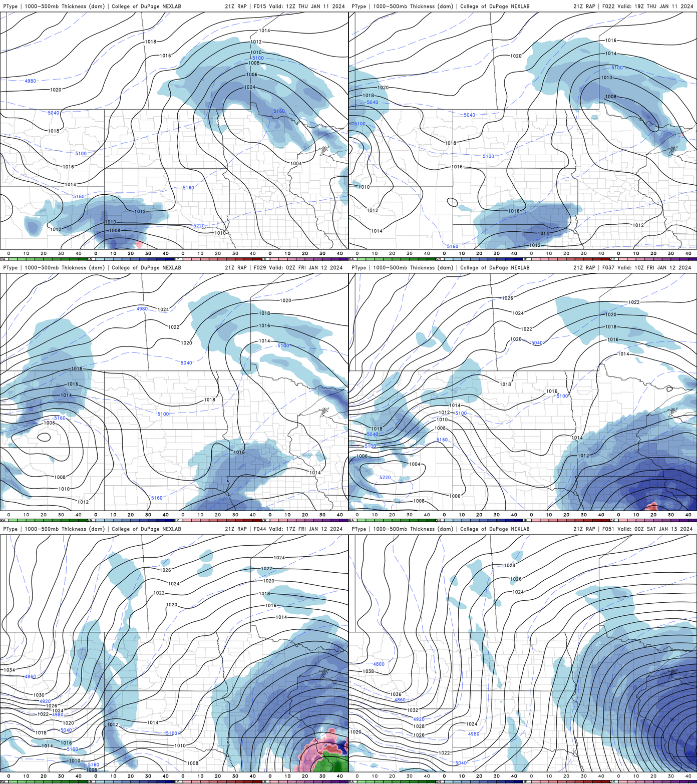
Forecast precipitation 6 a.m. Thursday through 6 p.m. Friday
College of DuPage Weather
Snowfall will be heaviest in far southeast Minnesota. Significant accumulation will reach as far north as the Twin Cities area.

Forecast snowfall Thursday through Saturday
National Weather Service
The weekend will bring frigid temperatures statewide. Friday, Saturday and Sunday nights will be below zero for most of the state. Highs Sunday will struggle to reach zero in southeast Minnesota, while the rest of the state remains below zero. Wind chill values Sunday morning will range from 20 below zero to nearly 40 below zero in western Minnesota.
Follow the story